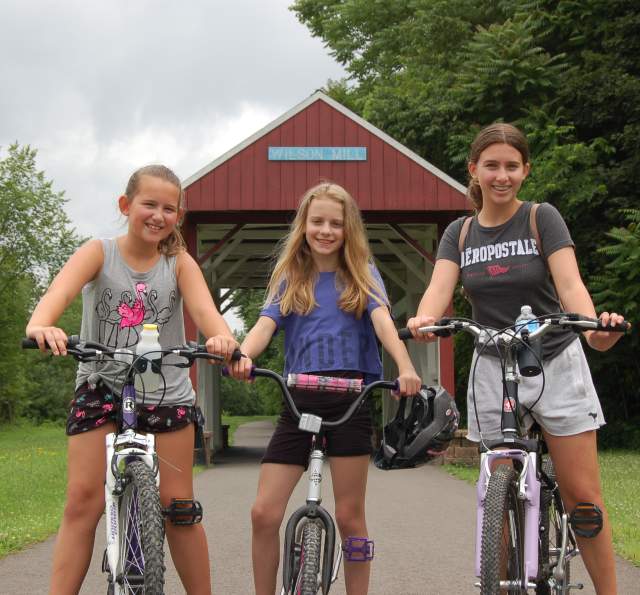
Panhandle Trail
The Panhandle Trail offers the most direct and scenic route for self-propelled travel between Oakdale (Allegheny County) and Colliers, West Virginia with the majority of the trail's length spanning Northern Washington County. Although the trail follows an old railroad grade through the hilly terrain, there was only so much the railroad builders could do to flatten the route. Expect a steady climb to the town of Midway, the high point on the rural journey.
The trail is part of the Industrial Heartland Trails Coalition’s developing 1,500-mile trail network through Pennsylvania, West Virginia, Ohio, and New York.
This route was made famous by the merger of several railroads in the 1860s to create the Pittsburgh, Cincinnati, Chicago and St. Louis Railway (PCC&StL), or simply the Panhandle Route. It was named for the sliver of northern West Virginia it crossed on the way to Ohio. The Pennsylvania Railroad leased the route in the 1920s, and the line later became part of the Penn Central and Conrail systems until it fell into disuse in 1991.
The 29-mile trail is maintained by several communities and organizations along the way. Starting at the old Walkers Mill station about 10 miles west of Pittsburgh, the trail passes through a succession of small towns that become farther apart as you head west. The Panhandle Trail crosses the 61.5-mile Montour Trail, which links to the 150-mile Great Allegheny Passage and the 184.5-mile C&O Canal Towpath for an off-road connection to Washington, D.C. Horseback riding is allowed in the corridor in Pennsylvania, but not on the trail itself.
At Walkers Mill Road, the trail starts with a crushed-limestone surface as it heads west across the Allegheny Plateau through a hardwood forest alongside Robinson Run. The trail becomes paved asphalt as you enter Washington County just before McDonald. The substantial brick buildings in McDonald are evidence of the oil boom that struck in the late 1800s; coal is still mined in the area. McDonald Trail Station and History Center, located at the South McDonald Street trailhead, is the start for the annual Tour de Panhandle bike ride in June.
At 8 miles, you’ll pass beneath a 1913 railroad trestle on the Montour Trail that crosses the Panhandle Trail and Robinson Run. You can turn onto the Montour Trail at a nearly mile-long side trail that connects the two about 0.4 mile ahead.
At 10.6 miles, you’ll reach Midway. Although you’ve only completed a third of the trail’s distance, the town was the railroad’s halfway point between Pittsburgh and Steubenville, Ohio. Nearly a mile west of town, you’ll pass a small airfield and the highest point on the trail. Heading downhill, you’ll find that the next two towns, Bulger (13.5) and Joffre (14.5), won’t offer much in the way of services. You’ll encounter another uphill grade on the way to Burgettstown, which offers a food stop at a market, diner, or pizza parlor.
It’s all downhill to the finish, with few services along the way. You’ll cross into West Virginia in 7.3 miles, where the trail becomes crushed limestone again. This final leg meanders through coal country to Weirton, West Virginia, once home to the giant Weirton Steel Corporation. The path runs along Harmon Creek, known for its catfish and carp.
PK Winery
- 116 E. Lincoln Avenue
- 724-492-1569
Small batch winery offering free tastings and two local rotating craft beers on tap…
McDonald Trail Station and History Center
- 161 South McDonald Street
Unique facility near both the Panhandle and Montour Trails. Caters to trail users and…
Wilson Mill Bridge
- 151 S McDonald St
Original Year Built: 1889 Replica Built: 2011 Builder: unknown Truss Type: Kingpost…


